 vesseltracker.com
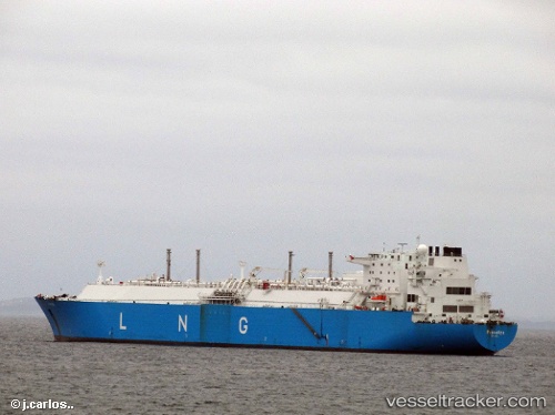
Vessel KARADENIZ LNGT POWERSHIP ANATOLIA IMO: 9306495, MMSI: 636021105 LNG Tanker
UTC, 40.70577, 29.46436, course: 111, speed: 0
2026-01-26 11:58:05 UTC, 40.70577, 29.46436, course: 111, speed: 0
Live AIS position:
UTC. Near YALOVA),
updated 2026-01-26 11:58:05 UTC.
Find the position of the vessel KARADENIZ LNGT POWERSHIP ANATOLIA on the map. The latter are known coordinates and path.
marine traffic ship tracker show on live map
The current position of vessel KARADENIZ LNGT POWERSHIP ANATOLIA is 40.70577 lat / 29.46436 lng. Updated: 2026-01-26 11:58:05 UTCCurrently sailing under the flag of Liberia
KARADENIZ LNGT POWERSHIP ANATOLIA built in 2006 year
Deadweight:
86385 tDetails:
Last coordinates of the vessel:
UTC, 40.70584, 29.46437, course: 112, speed: 0UTC, 40.70577, 29.46436, course: 111, speed: 0
2026-01-26 11:58:05 UTC, 40.70577, 29.46436, course: 111, speed: 0